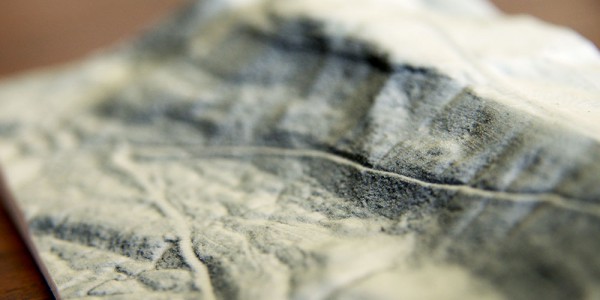
3D Modelling
This is our specialty! We turn aerial LiDAR data, land penetrating radar scans, digital elevation models and satellite imagery into stunning 3D printed models. We can also combine real terrain data with 3d models of proposed infrastructure or site works that can be used for mine proposals, site planning and regeneration demonstrations.
3D Visualisation
We can assemble, simplify and colour 3d data for better visualisation. We can provide you with rendered images or a complete digital 3d model of your project.
Data Procurement
We are able to source a range of geospatial and terrain data for your project. We have access to aerial photography, aerial LiDAR elevation scans and other digital elevation models.
Data Manipulation
Data from LiDAR scans, digital elevation models and underground scans is often complex, dense and hard to work with. We are able to simplify, merge, compile and modify point clouds and other digital elevation models so that you can work with them more easily.


